About
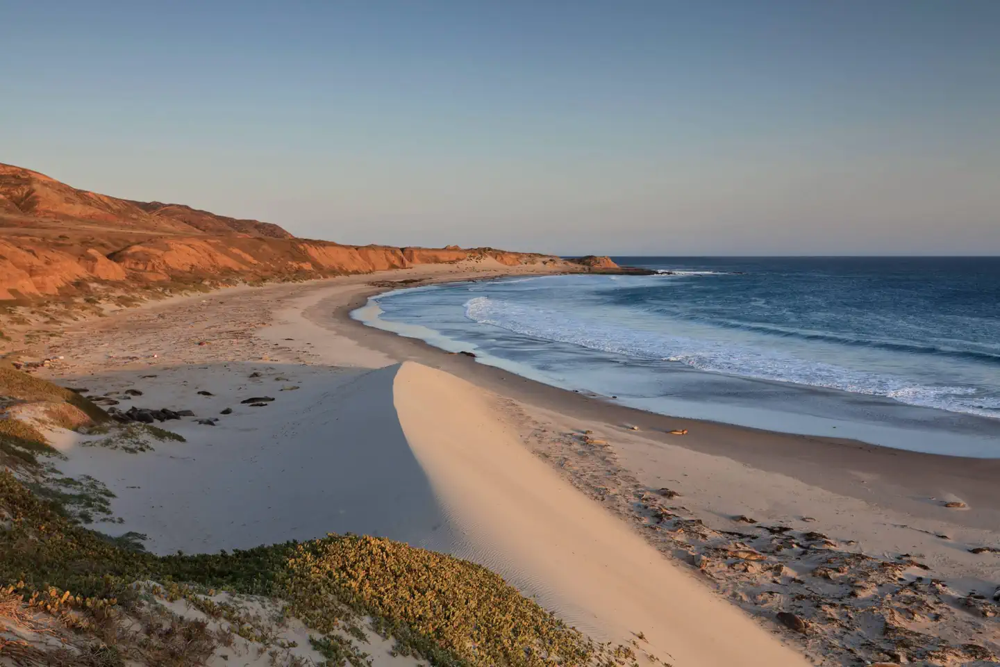
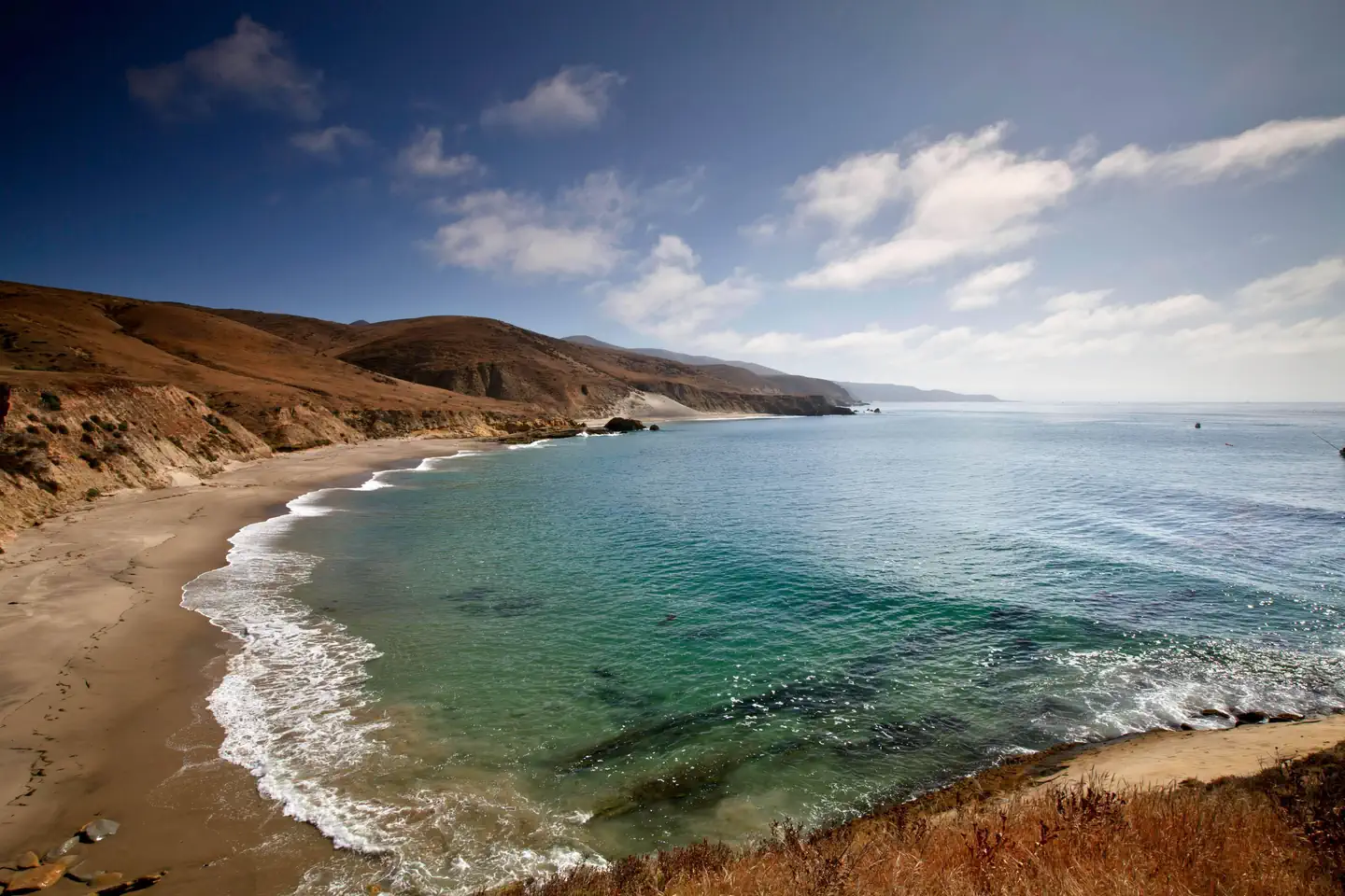
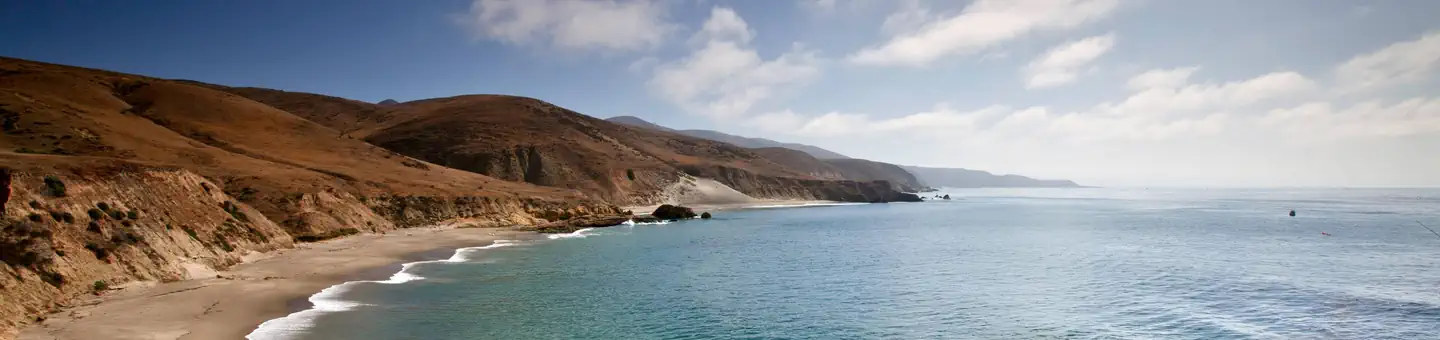
Overview Backcountry beach camping is available mid-August through December along Santa Rosa Island's extensive, beautiful, and undeveloped 55-mile coastline. This coastline is reminiscent of California in days gone by. The rocky coast and sandy beaches are much the same as the ones the Chumash Indians, Spanish explorers, and early ranchers may have known. This remote, fragile environment is critical for sea and shorebirds, marine mammals, and plant communities. In 1992, the National Park Service opened the island to backcountry beach camping in recognition of its rare wilderness values. As you explore these wild areas by kayak or on foot, please take responsibility to help us protect and preserve these delicate natural resources for future generations. The following information will help you enjoy your visit while leaving the smallest impact on the island. Warning: While backcountry camping is an incredible experience, it is not for the inexperienced backpacker or kayaker. Due to difficult weather, rugged terrain, and off-trail hiking, backcountry camping is an arduous endeavor and should be undertaken only by experienced, well-conditioned backpackers and kayakers. Less experienced visitors to the island should consider frontcountry camping at Santa Rosa Island Campground in Water Canyon, which also offers advance reservations with some amenities (e.g., pit toilet, picnic table, water). WAG Bags Required: Visitors are required to pack out human waste and toilet paper in the backcountry using "WAG" (human waste collection) bags. Visitors must bring there own bags which are available from outdoor suppliers. Backcountry Beach Camping Dates January 1 - August 14: Backcountry beach camping is CLOSED to protect pupping seals/sea lions and nesting seabirds. August 15 - September 15: Only East Point to South Point Beaches (Southeast Quadrant) are open to backcountry camping for boaters, kayakers, and backpackers. September 16 - December 31: Southeast, Southwest, and Northwest Quadrant beaches are open to backcountry camping. Beaches around Sandy Point, at Lobo Canyon, and Northeast Quadrant beaches (between Carrington Point and East Point) remain closed to camping. Recreation Boat and Airplane Drop Off Points. The park boat concessionaire, Island Packers, drops off and picks up kayakers and backpackers at the Bechers Bay pier. Campers should coordinate purchasing boat tickets in conjunction with making campground reservations. There is currently no park airline concessionaire, private landings on the airstrip near Water Canyon, or anywhere else on the island, is prohibited.Trail Conditions. Hiking to beach camping areas requires travel along rugged exposed mountainous roads, trails, and unmaintained routes often created by island animals. Expect high winds and sunny conditions with no shade or cover. Navigating beaches and bluffs may be possible depending on ocean conditions and commonly require hiking across drainages and badlands. It is recommended to carry tide charts when navigating the beaches, coasts and bluffs. Some road/trail intersections have signs, some do not. Most trails and routes do not get you directly to a beach camping area, but instead end above a marine terrace/bluff or on top of a canyon and you must find the safest way down to the beach.Maps. Please refer to topographical maps for more accurate mileage and to help with the following descriptions. It is recommended that all backcountry campers have both digital and physical maps. Backpackers should carry topographic maps (USGS 7.5 minute maps or the Trails Illustrated map of all the islands) and kayakers carry nautical charts before departing on their journey.Hiking and Kayaking Distances to Beach Camping Areas. Backcountry campers should be prepared to hike 10+ miles (16 km+) on their first and last days in the backcountry regardless of itinerary. While some beaches are less than 10 miles away, you may arrive to find your destination beach unavailable (occupied by other campers, covered in pinnipeds, under water from high tides, etc.) and need to hike to the next available beach.Southeast Quadrant (August 15-December 31)East Point from Pier: 7 mi (11 km) hiking; 8 mi (13 km) kayaking*East Point to Ford Point: 8 mi (13 km) hiking; 5 mi (8 km) kayaking**Ford Point via South (Wreck) Road from Pier: 9 mi (14.5 km) hiking+Ford Point to Johnsons Lee: 4 mi (6.5 km) hiking; 3.5 (6 km) kayaking+Johnsons Lee (via East Point) from Pier: 18 mi (29 km) hiking; 16 mi (26 km) kayaking**Johnsons Lee via Main (Soledad) Road from Pier: 14 mi (22.5 km) hiking+Johnsons Lee via South (Wreck) Road from Pier: 13.5 mi (22 km) hiking+La Jolla Vieja via South (Wreck) Road from Pier: 11.2 mi (18 km) hiking+ * Camping Just South of East Point is NOT Recommended. While no camping is allowed at East Point, there is a small pocket beach just to the south in the Southeast Quadrant. However, it is not recommended for camping as this beach is very, small a
Photos
Primary